Official Stance on UN Cartographic Resolution
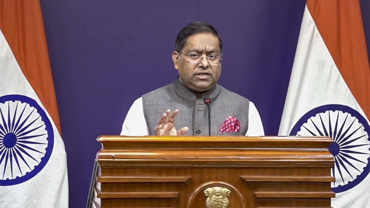
The Ministry of External Affairs has issued a clear statement regarding India's vote in favour of the recent United Nations General Assembly resolution on global map projections. The resolution, titled "Correct the Map," was introduced to encourage equal-area map layouts that display continents like Africa and South America in their true relative proportions rather than the traditional Mercator style.
India officially voted in support of the UNGA resolution to promote equal-area cartographic representation.
The Ministry of External Affairs emphasized that the non-binding resolution does not endorse any specific map projection or political boundary.
Government representatives made it clear that any global map must depict the Union Territories of Jammu and Kashmir and Ladakh strictly according to official Indian maps.
Authorities reiterated that India's position on its territorial integrity and national sovereignty remains completely non-negotiable.
Diplomatic Details and Background Context
The international vote sparked widespread discussions across global media regarding how geographic regions are visually scaled in textbooks and digital databases. Detailed reports published by
Future Impact on Global Mapping Standards
As academic publishers and technology platforms review the UN resolution, nations remain vigilant to ensure that geographical updates respect established national sovereignty. New Delhi continues to monitor international cartographic practices closely to protect its core territorial interests.